Ocean for All!
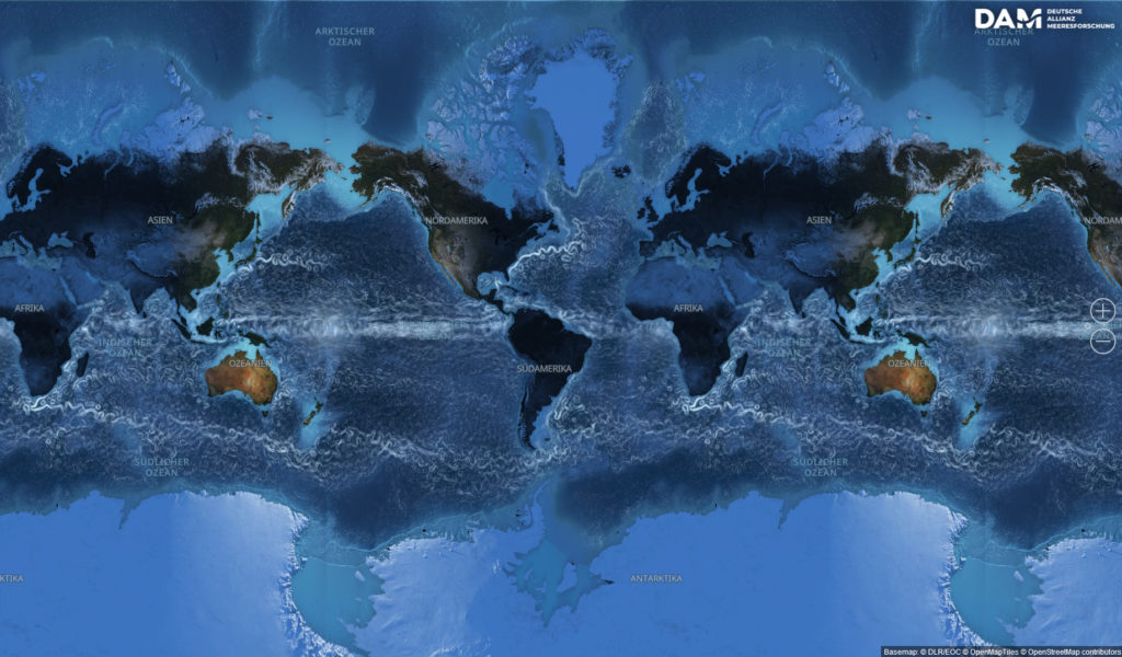
The Interactive World Ocean
The Interactive World Ocean is a touchscreen-based ocean map for use in schools, educational institutions and exhibitions. The map invites users to discover the immense diversity of coasts, seas and oceans. The application is free of charge for educational purposes. Please complete the form below to request access.
Your access code can be used multiple times. For the best experience, we recommend using Microsoft Edge or Google Chrome. The application is optimised for tablets, touchscreens, smartboards, and large-format touch tables.
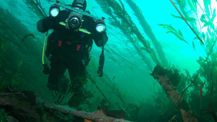
Dive Deeper
The Interactive World Ocean is linked to the Ocean Online information portal—for everyone who wants to know more about the oceans. In addition, Oceans Online provides supporting materials for using the Interactive World Ocean, such as suggested diving tours, and also an overview of activities and educational programmes related to coasts and seas.
The Interactive World Ocean is a product of the German Marine Research Alliance (DAM), in cooperation with the German Aerospace Center (DLR).
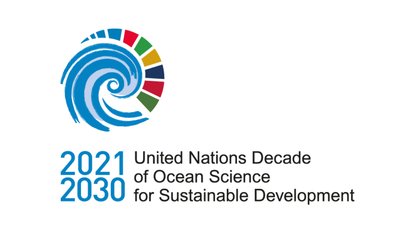
The Interactive World Ocean is recognized as an official project of the UN Ocean Decade. This Decade aims to achieve transformative ocean science solutions for sustainable development, connecting people and our ocean.
The Interactive World Ocean is an official contribution to the EU mission Restore our Ocean and Waters. With a 2030 target, the EU Mission aims to protect and restore the health of our ocean andwaters through research and innovation, citizen engagement, and investments in the blue economy.
DAM-Newsletter
Always up to date with the DAM newsletter. (German only)
Our Sponsors
The federal government and the governments of the five northern German states support the current development and sponsor the DAM.